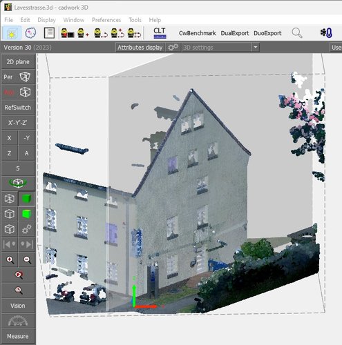
Point Cloud
There was a time when the surveyor was absolutely essential… With security issues and deadlines shorter than ever, a new technology is coming onto the market. You are here in the right place, let’s get started.
HOW DOES IT WORK?
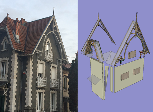
From a scanner, a camera or a drone, the cadwork Photogrammetry module allows you to generate the point cloud or the object on which you could later on base your design. Thanks to this new technology, the analysis work that used to be done by an expert on site is facilitated and, above all, is now within the reach of all. Associated with a tacheometer survey to bring more precision, the mesh and/or point cloud will facilitate the positioning or the setting of the context for future projects in a 3D environment.
TREATMENT
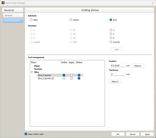
The cadwork Photogrammetry module allows you to quickly and efficiently process your data. The semi-automatic correction tools and the performance of the design engine ensures you get a final model you can really work with.